Braeburn Creek: Nearly 500 Homes at Amity and Happy Valley
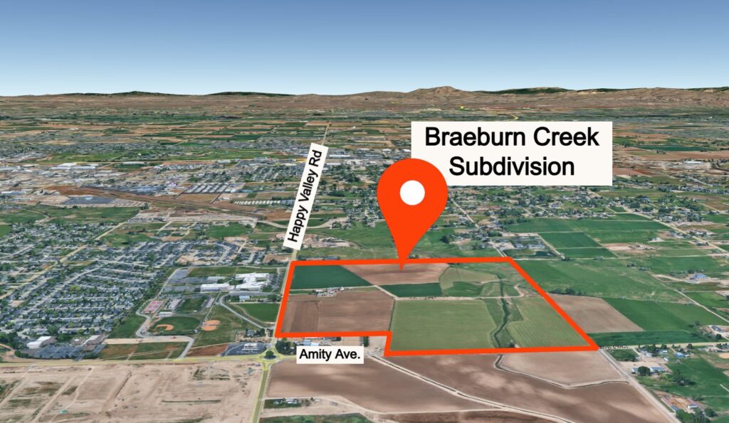
Braeburn Creek could bring nearly 500 new homes to Amity and Happy Valley in Nampa. Here’s what Toll Brothers is proposing, including road upgrades, amenities, and the project timeline.
Nampa Approves Grace Bible Church Annexation for New Church Site
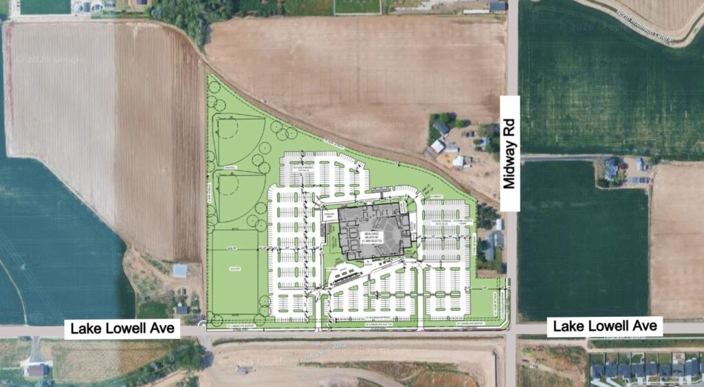
Nampa approved the annexation for Grace Bible Church’s future campus near Lake Lowell Avenue and Midway Road. See the site plan and learn what comes next.
Nampa P&Z Backs 149-Acre Development Near Midway Park
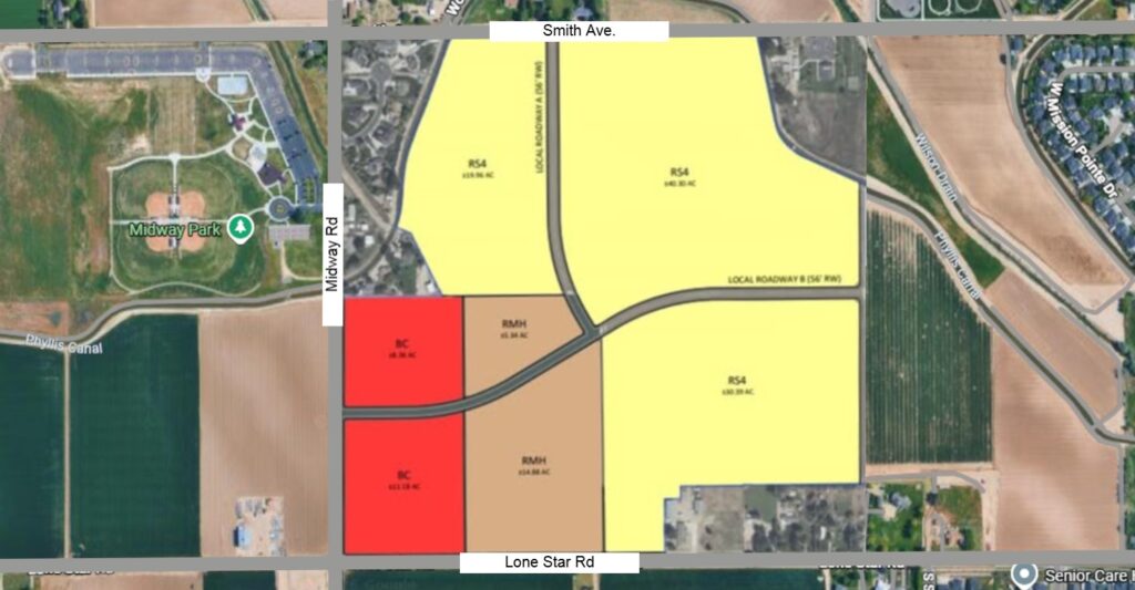
Nampa P&Z has recommended approval of a 149-acre master planned community near Midway Park, with hundreds of homes, apartments and commercial development proposed.
The Fields: Nearly 900 Homes Approved Near Nampa
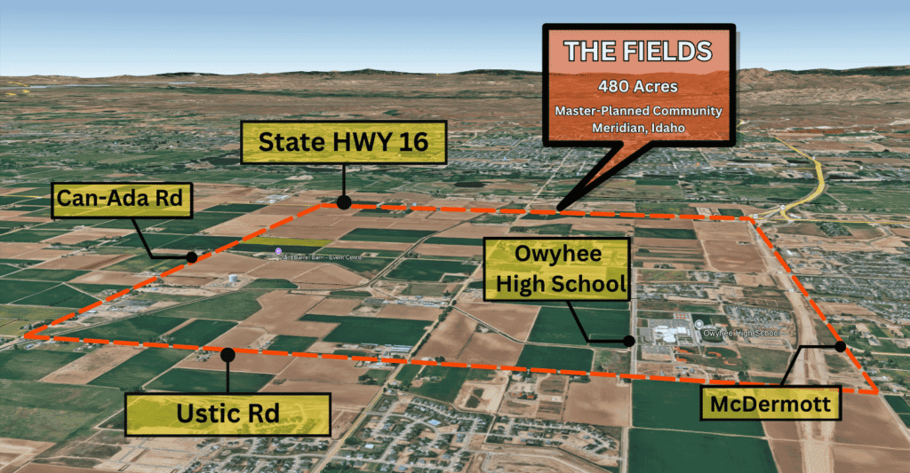
The Fields, a 480-acre master-planned community in northwest Meridian, is officially moving forward. Here’s what was approved, what’s planned for the future, and why this major development matters to both Meridian and nearby Nampa.
Cherry Lane is Getting 68 New Homes – And a Traffic Fight
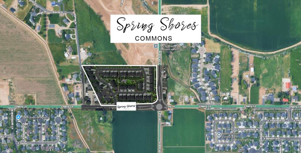
A 68 home development is finally moving forward on that empty Cherry Lane lot, and townhomes could start near $280K. Here’s what’s planned, plus the traffic concerns already stacking up.
Lake Lowell Estates Is Coming to West Nampa – Here’s What to Know
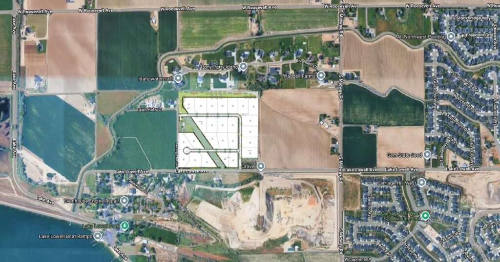
A new subdivision just got the green light from Nampa’s Planning and Zoning Commission. Lake Lowell Estates would bring 25 acre-plus lots to west Nampa, right near Lake Lowell Park. Here’s what’s planned and what happens next.
Highline Estates Approved — Nampa Council Divided on Growth
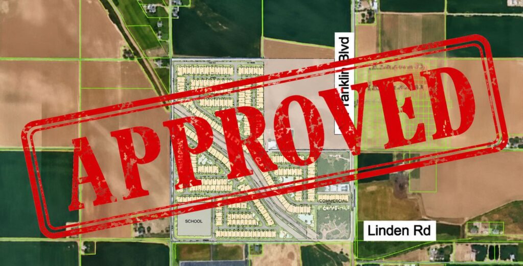
Highline Estates got approved – but the 3-2 vote exposed a growing divide on Nampa City Council over whether the city’s growth is actually sustainable.
A New Nampa Subdivision — And Nobody’s Complaining
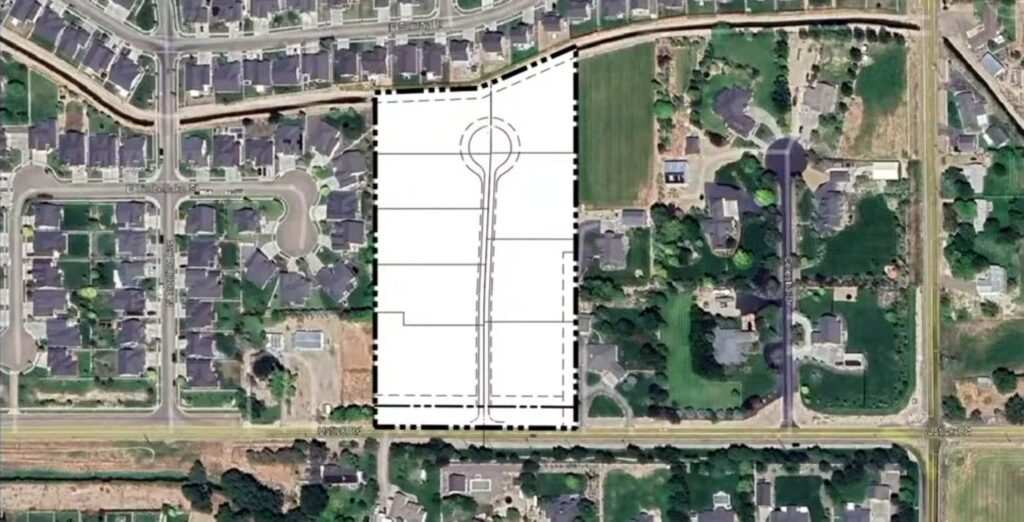
A new subdivision just got approved in Nampa — and the neighbors actually showed up in support. Here’s what’s coming to Ustick Road and what buyers need to know.
Nampa Said No to the Subdivision. The Neighbors Still Lost.
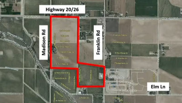
Back in April, a group of Nampa residents showed up to a Nampa Planning and Zoning meeting to stop a housing development. The city said no to the developer. But the neighbors didn’t get what they wanted either. Nobody won. Here’s why that matters. What Was on the Table at the April P&Z Meeting A […]
The District at Ten Mile Just Broke Ground. Here Is What Is Coming.
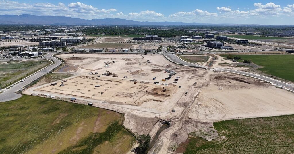
If you drive the Ten Mile exit off I-84, you have probably noticed that empty field sitting there for a while. That is the future home of the District at Ten Mile Meridian Idaho, and it is not going to be empty much longer. It is a 222-acre mixed-use development from Ball Ventures Ahlquist, and […]